لايتا
| Leitha | |
|---|---|
|
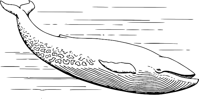
اللايتا بالقرب من Kleinwolkersdorf
| |
| الاسم المحلي | Lajta |
| المسقط | |
| البلد | النمسا والمجر |
| السمات الطبيعية | |
| المنبع | |
| ⁃ المسقط | Lanzenkirchen، جنوب حوض ڤيينا |
| ⁃ الإحداثيات | |
| المصب | |
- المسقط |
الدانوب بالقرب من موشونمدروڤار |
- الإحداثيات |
Coordinates: |
| الطول | 120.8 كم |
| سمات الحوض | |
| السريان | الدانوب← البحر الأسود |
لايتا (بالألمانية: Leitha؛ [ˈlaɪ̯ta]؛ بالمجرية: Lajta؛ Lajtha، وسابقاً Sár(-víz)؛ بالتشيكية وبالسلوڤاكية: Litava) هونهر يجري في النمسا والمجر، وهورافد أيمن للدانوب. ويبلغ طوله 120.8 كيلومتر (168.5 كم إذا أدخلنا في الحساب النهر المصدر شڤارتسا).
أصل الاسم
المسار
حدود تاريخية
بعد الفتح المجري للحوض الكرپاتي في أواخر القرن التاسع، Magyar horsemen dared further غزوات into the adjacent West Frankish lands, until they were finally defeated by الملك أوتوالأول في Battle of Lechfeld عام 955. Thereafter the forces of the Bavarian duke Henry the Wrangler gradually re-conquered the lands beyond the غابة ڤيينا حتى نهر لايتا، حيث نشأت في حوالي سنة 976 تخوم النمسا (Ostarrîchi) تأسست تحت إمرة مارگراڤ بابنبرگ ليوپولد الأول.
Around the turn to the 2nd millennium, the Hungarian frontier (Gyepű) ran along the Leitha shore, from 1156 onwards it formed the eastern border of the Duchy of Austria with fortresses erected at Wiener Neustadt, Bruck and Hainburg. The last Babenberg duke Frederick II of Austria was killed in the 1246 Battle of the Leitha River against King Béla IV of Hungary. The course of the border was confirmed in a 1411 deed issued by King Sigismund, when his daughter Elizabeth married the Habsburg duke Albert II of Austria.
The placenames Cisleithania, Transleithania and Lajtabánság are all derived from the Leitha River. After the Austro-Hungarian Compromise of 1867, which created the Dual Monarchy, Transleithanien ("beyond the Leitha") was the Viennese colloquial word for the region beyond the Leitha (meaning Hungary or the Kingdom of Hungary), while Cisleithanien ("on this side of the Leitha") denoted the Austrian lands. These names reflected the Viennese and Austrian perspectives towards the rest of the Empire, because Vienna lay on 'this' side, and the other half, Hungary, lay on 'that' side. Nevertheless, the Leitha did not form the entire border between the two: for instance Galicia and Bukovina, which were part of Cisleithania, were north-east of Hungary. Likewise, the Morava River formed the border between Cisleithanian Moravia and the Transleithanian lands of present-day Slovakia (Upper Hungary).
Upon the dissolution of Austria-Hungary after World War I, the 1920 Treaty of Trianon adjudicated the West Hungarian territory of the proclaimed Lajtabánság (Leitha Banat) to the Republic of Austria (as Burgenland), whereby the course of the river became an inner Austrian border.
الهامش
- ^ نطقب:GeoSource/list
- ^ German Wikipedia
وصلات خارجية
| مشاع الفهم فيه ميديا متعلقة بموضوع Leitha. |
-
 "[[s:Collier's New Encyclopedia (1921)/{{{1 |{{{1 ]]". Collier's New Encyclopedia. 1921.